With the latest ArcGIS 2021 Q4 release of ArcGIS Pro comes a handful of new capabilities within the Pro extensions. Discover what’s possible inside Pro today.
ArcGIS Data Reviewer
The latest release of ArcGIS Data Reviewer includes a growing library of automated checks that identify common errors found in GIS data including Composite, Evaluate Z Values, Find Dangles, Relationship, and many more. For a complete list, view checks poster. These checks simplify the implementation of validation attribute rules since they are configurable and do not require the creation of custom Arcade scripts. Here’s a brief overview of a few checks.
- Identify values that are not unique or text that doesn’t match a defined pattern, as well as cardinality and relationship rule violations in data sources participating in a Relationship class.
- Assess the spatial relationship between multiple data sources. These include checks which find errors based on the results found from the configuration of multiple Reviewer checks, as well as features that do not have a prescribed spatial relationship with other features.
- Feature on Feature check (finds features from the same or two different feature classes that share a spatial relationship) now supports creation of a custom relationship based on the Dimensionally Extended 9-Intersection Model (DE-9IM) string you specify. Learn more about creating a custom relationship using DE-9IM.
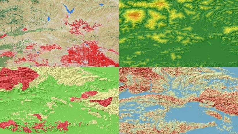
- Series of new checks have been added that enable you to assess the integrity of the features in your geodatabase. These include finding polygon features that are slivers and Z-enabled features that contain Z-values outside of a defined range or those which differ significantly from other values on the same feature.
ArcGIS Maritime
ArcGIS Maritime now supports Inland Electronic Navigational Chart (IENC) and Bathymetric Inland Electronic Navigational Chart (bIENC) production. The Inlands ENC Harmonization Group (IEHG) has outlined specifications for where there should or should not be land area features as well as how depth areas are created and attributed based on the International Hydrographic Organization (IHO) S-57 standard. Two new tools have been added – Generate Depth Areas and Generate Land Areas to automate these activities. Generate Depth Areas creates depth area polygon features using a TIN to query depth information to find whether a closed contour is trending deeper or shallower. Generate Land Areas creates land area polygon features by identifying existing land topology features, such as coastline and shoreline construction, and eliminating any polygons over water or other exclusionary features. An area of interest is specified to limit the processing area. Esri is participating in the S-100/S-101 testbed along with other Hydrographic Offices to test conversion of datasets and provide feedback to the IHO working group that is building the specification. To support this effort, updates have been made to the S-100 toolset. Also, several enhancements have been made to the display properties for custom chart builder.
ArcGIS Aviation (Pro)
ArcGIS Aviation Charting has added more capabilities in ArcGIS Pro to include Enroute and Visual chart production workflows. The Export AIXM 5.1 Message tool has been added to export data from AIS and share with others. Vertical scale bar has been added to Aviation Charting and Terrain and Obstacle Profile element in Aviation Airports has been updated to show or omit obstacles that are in the shadow of another obstacle. The Evaluate Obstacle tool allows you to find potential flight hazards against authoritative obstacle data as well as propose temporary obstacles as part of your analysis. FAA 13A Runway Protection Surfaces tool has been added to create runway protection surfaces based on FAA AC 150/5300-13A.
ArcGIS Production Mapping/ArcGIS Defense Mapping (Pro)
With this release new tools have been added to ArcGIS Production Mapping and ArcGIS Defense Mapping. The cross-reference geodatabase that the Load Data tool uses to map source data to target data can be created using the Create Cross-Reference Geodatabase Geoprocessing tool. Topological errors that occur when the endpoint of one line touch the endpoint of only one other line, known as pseudo nodes, can be resolved using the Merge Lines By Pseudo Node tool to dissolve features where pseudo nodes occur. This is particularly useful for depicting true intersections versus overpasses/ underpasses. The Generate Spot Heights tool has two new parameters that help refine the appearance of the spot heights so that they are optimized for print and display at the specified scale.
Geoprocessing tools have been added to support the Joint Operations Graphic (JOG) product. These tools include the Calculate Max Elevation Figures, the tool calculates maximum elevation figures (MEF) and the resulting values can be used as labels in the MEF feature layer. The Generate Elevation Bands From Features tool generates bands that represent elevation levels on a map product. And the Generate Location Diagram Features tool generates location diagram features that are displayed in the Location Diagram Map Frame.
In topographic mapping production workflows, you can create a collection of tasks (Task Group) based on the properties of an existing job using the Create Task Group Jobs tool, which also determines what types of task group jobs and how many need to be created, once another job is finished. The Set Task Group Dependencies tool creates dependencies between a job and other existing task group jobs based on the criteria defined in the extended properties. It determines if any task group jobs already exist in the workflow repository that should be completed before the next job begins. If a dependency exists, the next job won’t begin work until the other job(s) have reached a specified status.
ArcGIS Roads and Highways
With this release, ArcGIS Roads and Highways has reached ArcMap equivalency, allowing you to begin migrating your Roads and Highways deployments to ArcGIS Pro. New features were also added, including cover event behavior for event characteristics that span the entirety of routes, support for concurrent routes and rules to determine which route is dominant where concurrencies are present, and support for reversing routes in direction and measures.
ArcGIS Pipeline Referencing
ArcGIS Pipeline Referencing Q4 2021 release includes a variety of new features such as additional support for adding and editing calibration points individually and in bulk using editing tools like Create Features and Move. A new option has been added in cartographic realignment to ignore impacted calibration points so they can be manually moved to the location the user desires. Additionally, support for reversing routes in direction and measures and the ability to transfer locks when utilizing conflict prevention capabilities are new at this release.


Article Discussion: